Leica ULTRA Utility Detection and Tracing System

Description

Save time, increase efficiency, gain more confidence in your results with the Leica Ultra Cable Locator system, our most advanced precision locating system.

cable locator, jual cable locator, alat pendeteksi kabel, leica ultra

Existing underground infrastructure networks can be complicated. Complex pipe and cable routes are continually expanding on a global scale and it has never been more important to obtain precise information about their positions. Protecting existing assets or planning for future installations, demands accurate reliable information.

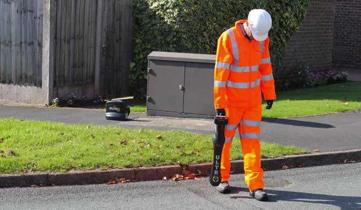
Integrating intelligent signal processing with unique flexible operating modes, Leica ULTRA System locates buried utility lines accurately for safe underground excavations and utility surveys. Outstanding performance with operational ease and flexibility.

Specific optimisation for the utility locating industry

  • Configuration for challenging environments
    Optimise the instrument to overcome the most challenging and complex site conditions. The Leica ULTRA System locator can be configured for different project environments and has more than 100 programmable operating frequencies available. Programme modes can adapt the onboard circuitry to repeatably deliver improved accuracy results.
  • Best frequencies in congested environments
    When working in congested environments, the Leica ULTRA System incorporates Ambient Interference Measurement (AIM), which digitally analyses the surrounding area for noise and recommends the best frequencies for accurate results.
  • Locate utilities when access is obstructed
    There will always be an occasion when a buried utility runs close to or underneath an obstruction. With Offset Measuring, the Leica ULTRA System can locate the target line when direct access from above is not possible.The unique function allows the software to calculate the horizontal offset (displayed to user) and the function uses the available data to estimate the horizontal and vertical (depth) distance.
  • Transmitter to receiver link
    Control the transmitter directly from the receiver with Bluetooth communication link between the Leica ULTRA Systm receiver and the transmitter. Save time and improve efficiency by simply controlling the transmitter from the receiver, no more walking backwards and forwards to change settings.
  • Clear High-contrast and backlit lay LCD display
    LCD display is visible in all conditions, including direct sunlight. A large display ensures maximum confidence in the diplayed information with compass function, guidance arrows, signal strength and unique sonde compass guidance ensuring maximum confidence at all times.
  • GNSS & GIS integration
    A unique feature to the Leica ULTRA System allows the user to connect to two utilities at the same time and remotely switch between dedicated assigned frequencies saving time required to locate multiple services.
  • Dual-output connectivity
    Integrate Leica ULTRA system to GNSS RTK corrections with bespoke mapping software to give a true one-man data capture solution with real-time back to base functionality for near instant mapping capabilities.
  • 12-watt transmitter output
    Class leading 12-watt transmitter output (Advanced model) enhances signal transmission along large, direct buried utilities.
  • Superior battery life
    Using Alkaline batteries – transmitter 100hrs, receiver – 30hrs.

Spesification

Locator

 Technical Data

Standard

Advanced

 Dimension

691 x 325 x 122 mm

(27.2 x 12.8 x 4.75 in)

 Weight (including batteries)

 2.2 kg (4.8 lb)

 PERFORMANCE  
 Frequency range

50 Hz – 200 kHz

 Sensitivity

33 kHz (1 μA at 1 m)

 Dynamic range

117 dB

Depth, max

6 m (20 ft)

 Locate accuracy

±5% depth

 Dynamic overload protection

30 dB (automatic)

 Depth accuracy

In line – ±5% to 3 m (±5% to 10 ft)

Sonde – ±5% to 3 m (±5% to 10 ft)

Passive – ±5% to 3 m (±5% to 10 ft)

 FEATURES  
Enabled frequencies

512 Hz, 3.14 kHz, 8.192 kHz,
32.768 kHz, 83.1 kHz, 200 kHz

 Custom frequencies

Up to 100 custom frequencies

from 256 Hz – 83 kHz

 DE direction enabled

Any frequency

from 256 Hz – 10 kHz

 Fault-finding DE based

263 Hz

 Cathodic protection

frequencies

100 Hz, 120 Hz

 Power frequencies

50 Hz, 60 HZ, 100 Hz, 120 Hz,

150 Hz, 180 Hz, 450 Hz, 540 Hz

 Language support

17 user selectable

 Selectable auto shutdown

5, 10, 20 or 30 minutes

 PC based configuration

Software updates and

configuration can be set by user

 High contrast graphical LCD
  •  
 Line direction compass with

proportional L/R

arrow guidance

 
  •  
 Offset depth  
  •  
 AIM  
  •  
 Receiver / transmitter

communications

 
  •  
 Bluetooth® connectivity  
  •  
ENVIRONMENTAL  
 Operating temperature

-20 °C – 50 °C (-4 °F – 122 °F)

 Storage temperature

-32 °C – 70 °C (-25 °F – 158 °F)

 Environmental protection

IP65

BATTERY  
 Batteries

2 D-cell (LR20)

 Battery life (max)

30 hrs continuous

70 hrs intermittent

Transmitter

 Technical Data

5 Watt

12 Watt

Advanced

 Dimension

254 x 305 x 91 mm

(10 x 12 x 7.75 in)

 Weight (including batteries)  3.4 kg (7.7 lb)
 PERFORMANCE  
 Frequency range

256 Hz – 200 kHz

 Output power

5 Watt

12 Watt

12 Watt

 Current, max

500 mA

 Voltage, max

65V rms

 FEATURES  
 Enabled frequencies

512 Hz, 3.14 kHz, 8.192 kHz,

 Custom frequencies

Up to 100 custom frequencies

from 256 Hz – 83 kHz

 Language support

17 user selectable

 Induction

16 induction frequencies

 PC based configuration

Software updates and

configuration can be set by user

Fault-finding DE based

263 Hz

 Multimeter functions

Watts, currents, ohms and volts

 High contrast graphical LCD
 External 12V power

connection

   
 Dual output    
 Receiver / transmitter

communications

   
 ENVIRONMENTAL  
 Multimeter functions

Watts, currents, ohms and volts

 Operating temperature

-20 °C to 50 °C (-4 °F to 122 °F)

 Storage temperature

-32 °C to 70 °C (-25 °F to 158 °F)

 Environmental protection

IP65

 BATTERY  
 Batteries

10 D-Cell (LR20)

or Li-Ion battery pack (optional)

 Battery life (max)

100 hrs with alkaline

80 hrs with Li-Ion battery pack

Features

  • LARGE CLEAR DISPLAY
    • Large backlit high visibility LCD screen
    • Clear display provides clear, improved and confident location and utility tracing
  • CUSTOM FREQUENCIES
    • Configure for site specific applications
    • User configurable modes from 50 Hz to 200 kHz
    • Choose from 100 pre-selected frequencies or customise your own frequencies
  • COMPASS
    • Shows the user the direction of the utility they are locating / tracing
  • BLUETOOTH®
    • Enable wireless communications with software running on a laptop, survey field PC or other GPS enabled device
  • INCREASED TRANSMITTER POWER OUTPUT
    • Choose between 5W and 12W transmitter power outputs for superior tracing performance
  • BUILT FOR THE MOST DEMANDING ENVIRONMENTS
    • IP65 protection
    • Fulfils toughest standards – shock resistant, protected against water and dust ingress
  • SELECTABLE ANTENNA CONFIGURATION
    • Configure antenna to best optimise for your job site
    • Select between more range, sharper response, noise cancelling or easier sweeping
  • DIRECTION ENABLED
    • Identifying your target utility amongst multiple parallel utilities
    • Apply a special direction enabled signal from the transmitter, the receiver will display an arrow on the compass heading to guide you along the designated utility path

Unlock the power

Configure the Leica ULTRA for site specific applications. Custom build your receiver and transmitter.

Choose from over 100 preselected frequencies, or customise your own frequency for highly specialised applications.

Automatically capture the instruments location data to ensure adherence to best practice. The data logging feature allows the user to record external GPS coordinates and download with the datafile as a KML or CSV format. Upload into GIS systems or Google Maps to confirm where, when and how the work was performed.

Reviews

There are no reviews yet.

Be the first to review “Leica ULTRA Utility Detection and Tracing System”

Your email address will not be published. Required fields are marked *